Valréas
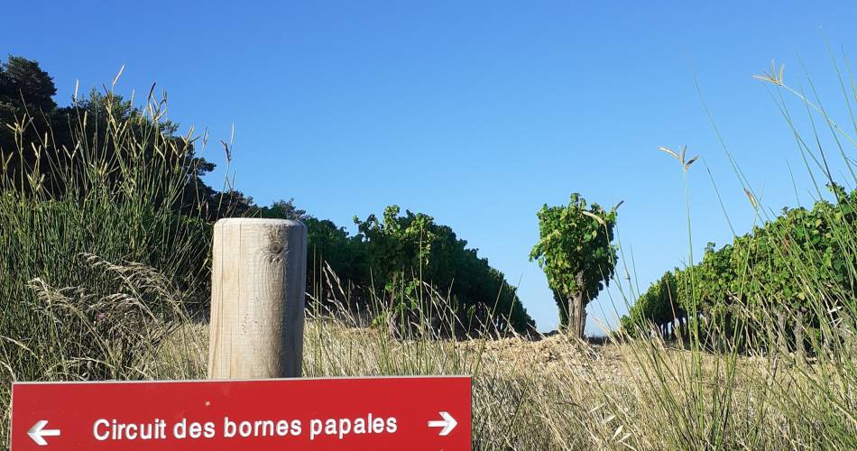
R03 Papal Milestone Path
R03
Route
Loop
Difficulty
Intermediate
Duration
3h
Distance
9km
Positive elevation gain
247 meters
Negative elevation gain
246 meters
Altitude
Min. 297 meters
Max. 479 meters
Departure / Arrival
Car park, Saint Pierre road / Car park, Saint Pierre road
Parking
Car park, Saint Pierre road
profil altimétrique
Downloads
Traces GPX
1 / 4
Tourist service in Valréas :
A walk combining countryside and historic heritage. Interpretation panels.Go to the route
public transportation
recommended parking
Car park, Saint Pierre road
road access
From the Route d'Orange (D976), head towards Valréas, then take the Chemin des Estimeurs, then turn right onto Route Saint-Pierre.
To note
Choose to do this hike in autumn to enjoy the wonderful colours.
 If you want to report a problem on your hike (marking, maintenance, danger...), let us know on Suricate: sentinels.sportsdenature.fr
Access to the massifs
Respect the regulations preserving protected natural areas – find out about restrictions to accessing the massifs during fire risk periods, from 15 June to 15 September.
Before heading out, check the website
Respect the regulations preserving protected natural areas – find out about restrictions to accessing the massifs during fire risk periods, from 15 June to 15 September.
Before heading out, check the website
In brief
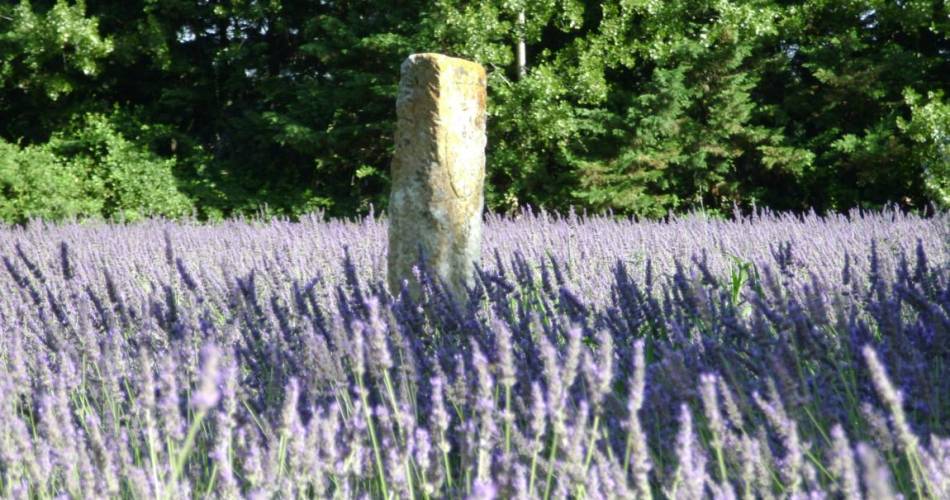
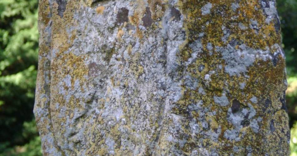
- This is a circuit dotted with panels that enable you to learn more about the history of the Enclave des Papes and their “papal boundary markers”.
- Landscapes alternating between oaks and vineyards.
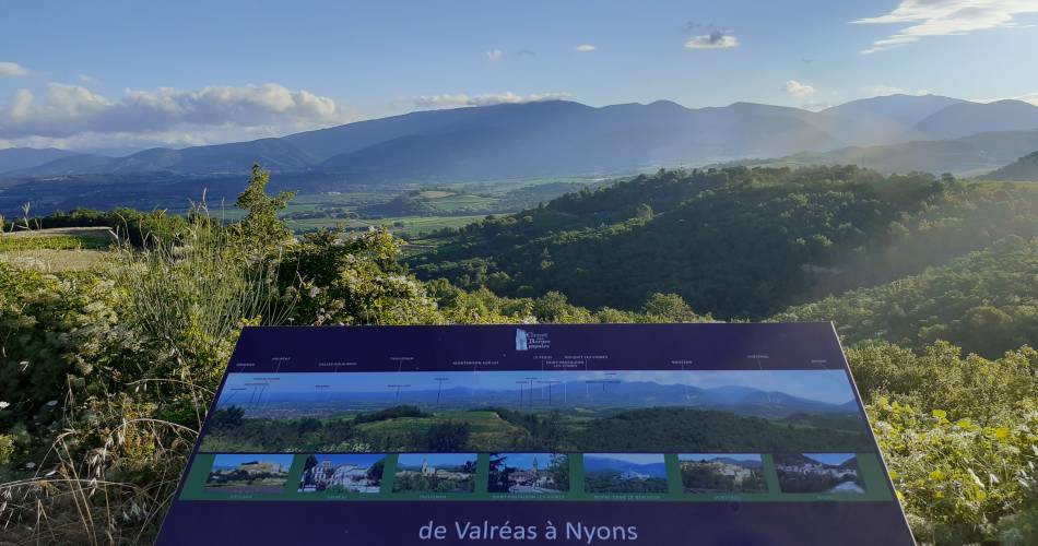
- Wonderful views of the Lance mountain, Mont Ventoux, Vinsobres.
Downloads
Contact
Office de Tourisme Pays de Grignan - Enclave des PapesTel : View number
E-Mail : info@grignanvalreas-tourisme.com
Website : http://www.grignanvalreas-tourisme.com
Guided hikes
This page was produced with the help of theOffice de Tourisme Communautaire Pays de Grignan et Enclave des Papes