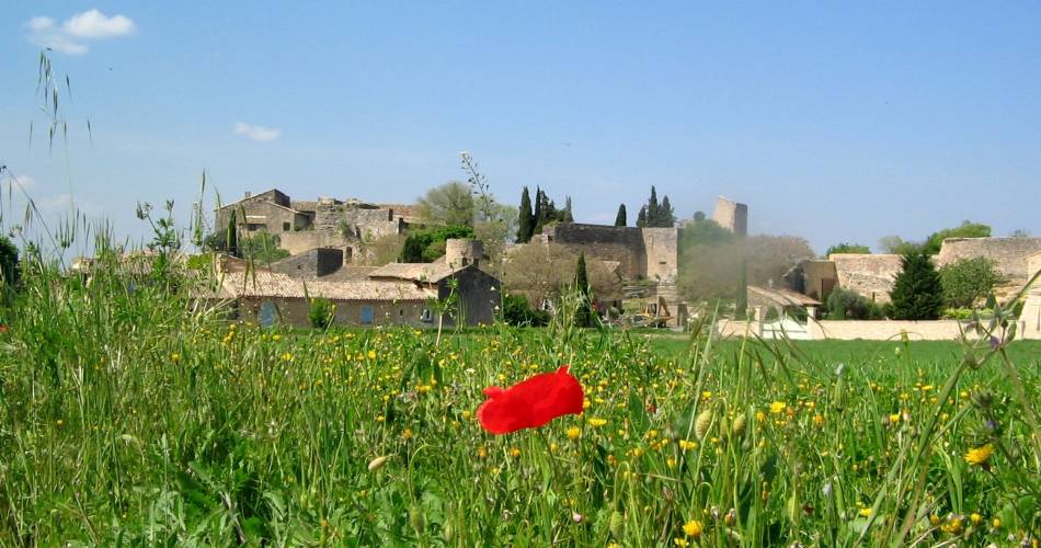
Lagnes
LAGNES - Tête du soldat et Mur de la peste
L02
Route
Loop
Difficulty
Intermediate
Duration
3h
Distance
9km
Positive elevation gain
302 meters
Negative elevation gain
302 meters
Altitude
Min. 114 meters
Max. 326 meters
Departure / Arrival
Lagnes - in front of the city hall / Lagnes - in front of the city Hall
Parking
Parking in front of Lagnes city Hall
profil altimétrique
1 / 5
Tourist service in Lagnes :
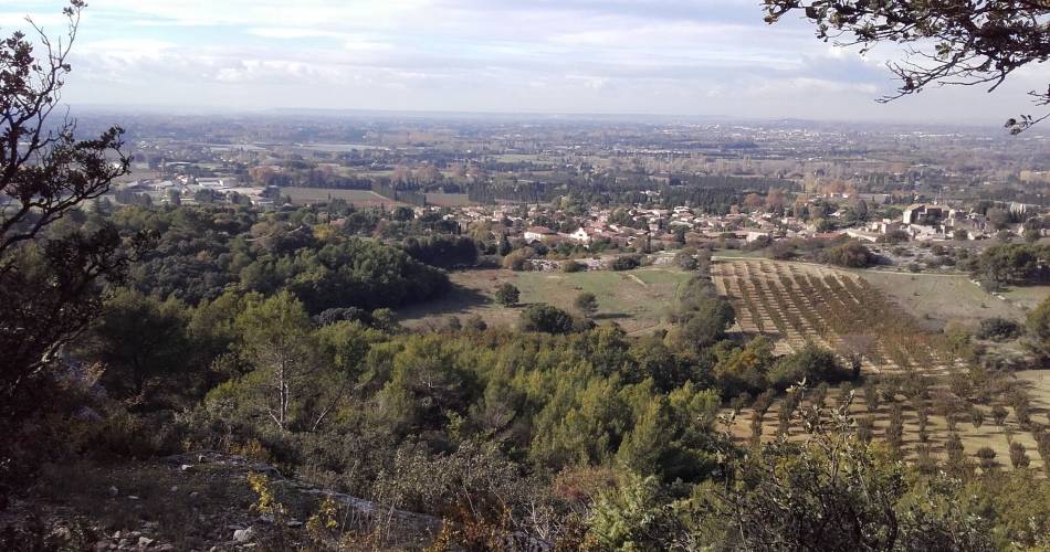
Géologie, histoire, patrimoine, flore, tout y passe ! Une randonnée parfaite pour profiter des beaux paysages des Monts-de-Vaucluse et de l'histoire insoupçonnée du Luberon.Go to the route
public transportation
Nearest SNCF station: Isle-sur-la-Sorgue
Bus Zou !
- From Isle-sur-la-Sorgue: route 921 / stop: place de la Mairie de Lagnes.
Bus Zou !
- From Isle-sur-la-Sorgue: route 921 / stop: place de la Mairie de Lagnes.
recommended parking
Parking in front of Lagnes city Hall
road access
From Avignon - Take the D900 towards Apt, then exit at Lagnes, Fontaine de Vaucluse.From Carpentras, head in the direction of l'Isle sur la Sorgue.
To note
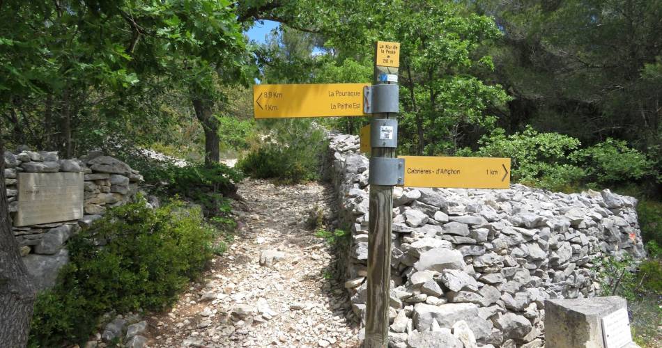
Wear the appropriate footwear as the trail is rocky.
The first part of the hike is along a road - stay alert.
The first part of the hike is along a road - stay alert.
 If you want to report a problem on your hike (marking, maintenance, danger...), let us know on Suricate: sentinels.sportsdenature.fr
Access to the massifs
Respect the regulations preserving protected natural areas – find out about restrictions to accessing the massifs during fire risk periods, from 15 June to 15 September.
Before heading out, check the website
Respect the regulations preserving protected natural areas – find out about restrictions to accessing the massifs during fire risk periods, from 15 June to 15 September.
Before heading out, check the website
In brief
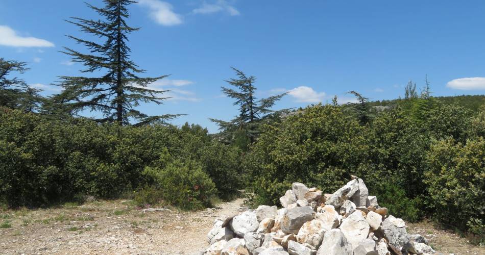
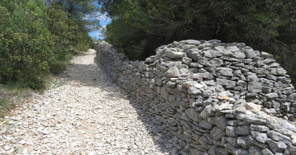
A route offering beautiful views, from scrubland to mediterranean forest, along the famous Mur de La Peste (or Plague Wall). Discover the pretty village of Lagnes.Downloads
Contact
Parc naturel régional du LuberonGuided hikes
This page was produced with the help of theParc Naturel Régional du Luberon