Pertuis
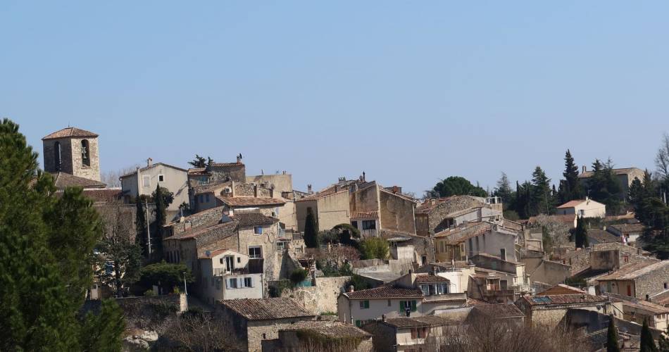
BEAUMONT-DE-PERTUIS - Entre collines boisées et cultures ancestrales
L14
Route
Loop
Difficulty
Intermediate
Duration
4h
Distance
12km
Positive elevation gain
283 meters
Negative elevation gain
284 meters
Altitude
Min. 342 meters
Max. 524 meters
Departure / Arrival
/
Parking
profil altimétrique

1 / 4
Tourist service in Pertuis :
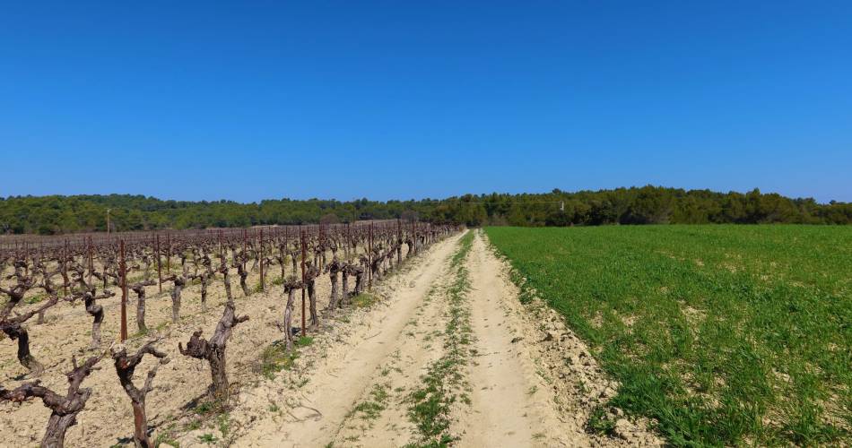
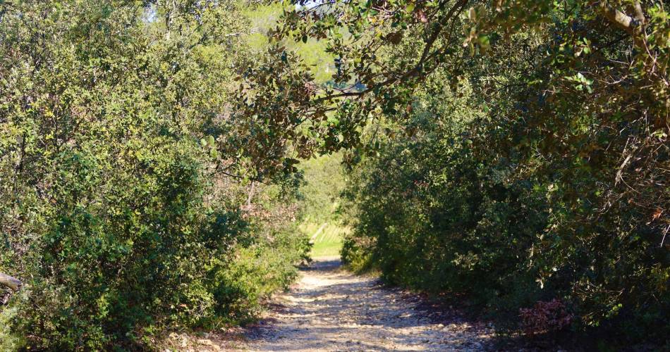
Une belle découverte du patrimoine agricole du Luberon, entrecoupée de passages en forêt de résineux et feuillus.Go to the route
public transportation
Bus Zou !
- From La Tour d'Aigues: line 983 / Gendarmerie stop
>> More information on the network and timetables
- From La Tour d'Aigues: line 983 / Gendarmerie stop
>> More information on the network and timetables
To note
 If you want to report a problem on your hike (marking, maintenance, danger...), let us know on Suricate: sentinels.sportsdenature.fr
Access to the massifs
Respect the regulations preserving protected natural areas – find out about restrictions to accessing the massifs during fire risk periods, from 15 June to 15 September.
Before heading out, check the website
Respect the regulations preserving protected natural areas – find out about restrictions to accessing the massifs during fire risk periods, from 15 June to 15 September.
Before heading out, check the website
Guided hikes
This page was produced with the help of theParc Naturel Régional du Luberon