Buoux
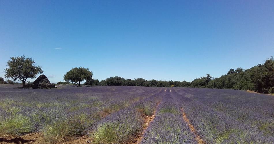
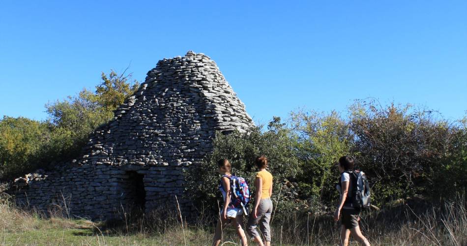
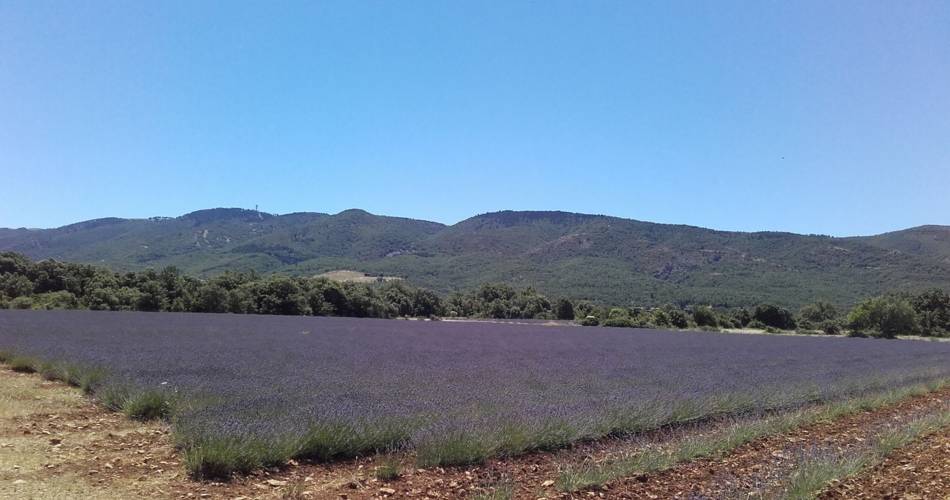
The Claparèdes plateau
Route
Loop
Difficulty
Easy
Duration
3h
Distance
9km
Positive elevation gain
81 meters
Negative elevation gain
81 meters
Altitude
Min. 558 meters
Max. 615 meters
Departure / Arrival
/
Parking
profil altimétrique
1 / 3
Tourist service in Buoux :
Colorful treasure in bloom and bead stripped out of seasonTo note
 If you want to report a problem on your hike (marking, maintenance, danger...), let us know on Suricate: sentinels.sportsdenature.fr
Access to the massifs
Respect the regulations preserving protected natural areas – find out about restrictions to accessing the massifs during fire risk periods, from 15 June to 15 September.
Before heading out, check the website
Respect the regulations preserving protected natural areas – find out about restrictions to accessing the massifs during fire risk periods, from 15 June to 15 September.
Before heading out, check the website
Guided hikes
This page was produced with the help of theParc Naturel Régional du Luberon