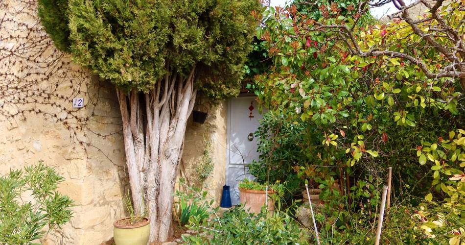
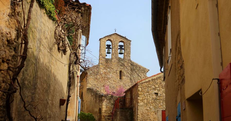
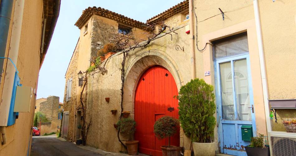
La Bastidonne
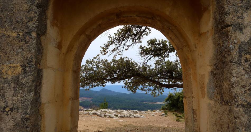
LA BASTIDONNE - Chapelle Saint-Julien
L15
Route
Round trip
Difficulty
Very easy
Duration
1h
Distance
3km
Positive elevation gain
129 meters
Negative elevation gain
129 meters
Altitude
Min. 328 meters
Max. 444 meters
Departure / Arrival
La Bastidonne - Parking du Castellet / La Bastidonne - Parking du Castellet
Parking
Parking Castellet at the west entrance of the village of La Bastidonne
profil altimétrique
1 / 5
Tourist service in La Bastidonne :
Une petite escapade dans un village plein de charme et d'histoire...Go to the route
public transportation
Pertuis TER train station is 6 km from the starting point of the hike.
recommended parking
Parking Castellet at the west entrance of the village of La Bastidonne
road access
6 km east of Pertuis, via the D973
To note
Rocky path, wear the appropriate footwear.
Take care when crossing the D973.
Take care when crossing the D973.
 If you want to report a problem on your hike (marking, maintenance, danger...), let us know on Suricate: sentinels.sportsdenature.fr
Access to the massifs
Respect the regulations preserving protected natural areas – find out about restrictions to accessing the massifs during fire risk periods, from 15 June to 15 September.
Before heading out, check the website
Respect the regulations preserving protected natural areas – find out about restrictions to accessing the massifs during fire risk periods, from 15 June to 15 September.
Before heading out, check the website
In brief
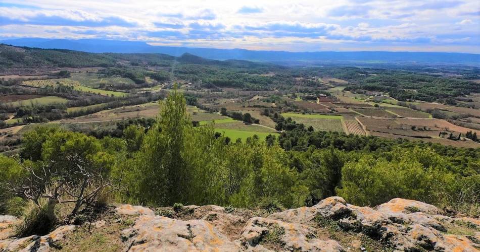
A very short walk allowing you to wander through a quintessentially provençal and little-known village, perched on a hill.Discover the ruins of Saint Julien chapel and the panoramic views over the Aigues valley.Downloads
Contact
Parc naturel régional du LuberonGuided hikes
This page was produced with the help of theParc Naturel Régional du Luberon