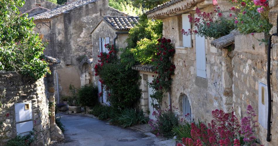
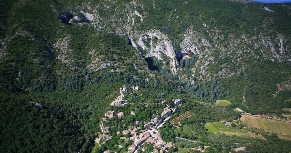
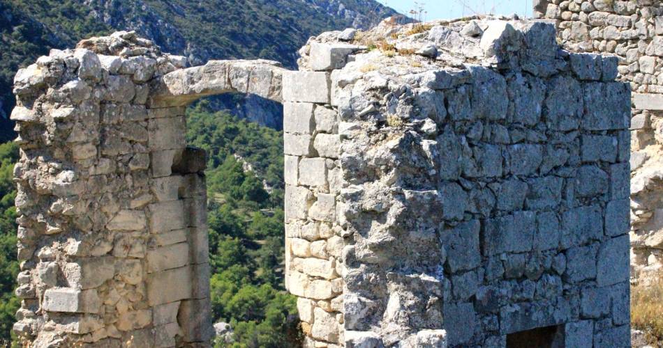
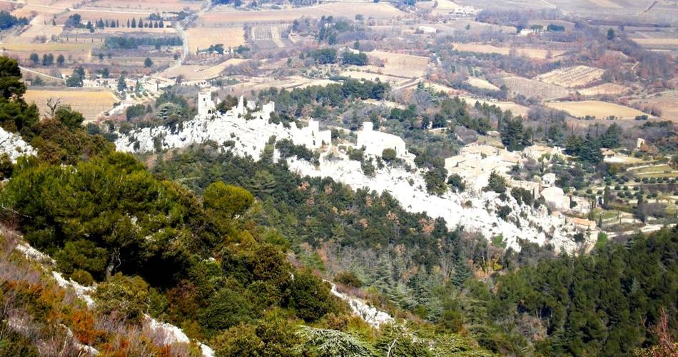
Oppède
Mourre de Cairas
Route
Difficulty
Difficult
Duration
4h
Distance
11km
Positive elevation gain
670 meters
Negative elevation gain
670 meters
Altitude
Min. 222 meters
Max. 723 meters
Departure / Arrival
Oppède le vieux - place de la croix / Oppède le vieux - place de la croix
Parking
Oppède le Vieux - place de la Croix
profil altimétrique
1 / 6
Tourist service in Oppède :
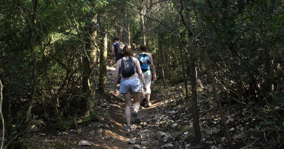
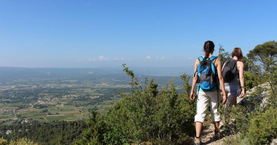
After Mourre Nègre on the Grand Luberon, here is Mourre of Cairas, at the peak of the Petit Luberon. Not less spectacular, on the contrary!Go to the route
public transportation
TER train station in Cavaillon
Zou bus line 18: Cavaillon - Apt (stop about 1km from the starting point)
>> More information about the network and times
Zou bus line 18: Cavaillon - Apt (stop about 1km from the starting point)
>> More information about the network and times
recommended parking
Oppède le Vieux - place de la Croix
To note
- In the spring, flocks of animals are on the summits, beware of livestock dogs guarding them!
- The paths are rocky: make sure you are wearing good footwear!
- Think to take a hat and water with you. The route is exposed to the sun a lot. Avoid summer, and choose to do this hike in winter or spring, as it does not have much shade.
 If you want to report a problem on your hike (marking, maintenance, danger...), let us know on Suricate: sentinels.sportsdenature.fr
Access to the massifs
Respect the regulations preserving protected natural areas – find out about restrictions to accessing the massifs during fire risk periods, from 15 June to 15 September.
Before heading out, check the website
Respect the regulations preserving protected natural areas – find out about restrictions to accessing the massifs during fire risk periods, from 15 June to 15 September.
Before heading out, check the website
In brief
- Discovery of Mourre du Caïras, the summit of Petit Luberon (726 m).
- Hike over the summits via the Cuestas, and views of wonderful limestone cliffs.
- Ambiance between the garrigue and oak groves
Downloads
Contact
Parc naturel régional du LuberonGuided hikes
This page was produced with the help of theParc Naturel Régional du Luberon