Viens
VIENS - Saint-Amas et la dalle à empreintes
L10
Route
Two way loop
Difficulty
Intermediate
Duration
4h
Distance
13km
Positive elevation gain
344 meters
Negative elevation gain
344 meters
Altitude
Min. 490 meters
Max. 695 meters
Departure / Arrival
Viens - Town Hall car park / Viens - Town Hall car park
Parking
profil altimétrique


1 / 7
Tourist service in Viens :
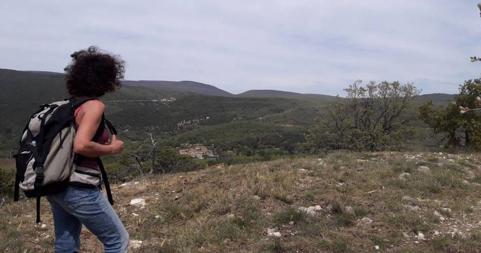
Une balade tranquille mais riche de paysages nuancés. Un premier pas vers une compréhension des relations qui unissent l’homme et la Terre...Go to the route
public transportation
By bus from Apt, line Zou 989 (Vienx Centre stop)
road access
16 km east of Apt. Follow the D900 then the D209 towards Viens.
To note
 If you want to report a problem on your hike (marking, maintenance, danger...), let us know on Suricate: sentinels.sportsdenature.fr
Access to the massifs
Respect the regulations preserving protected natural areas – find out about restrictions to accessing the massifs during fire risk periods, from 15 June to 15 September.
Before heading out, check the website
Respect the regulations preserving protected natural areas – find out about restrictions to accessing the massifs during fire risk periods, from 15 June to 15 September.
Before heading out, check the website
In brief
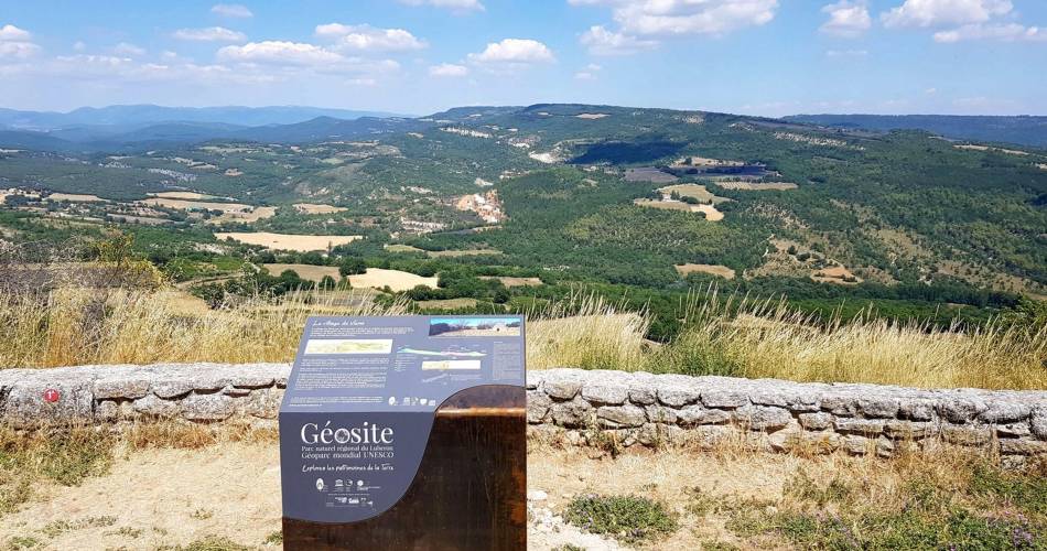
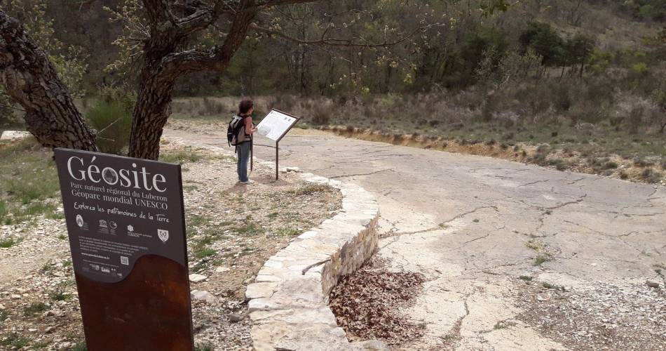
A hike for prehistory and geology enthusiasts, in the heart of the Géologique du Luberon National Nature Reserve.Discover the fossil footprint slab in Viens, dating back more than 30 million years and containing mammal depressions covering around 400 square metres.Downloads
Contact
Parc naturel régional du LuberonGuided hikes
This page was produced with the help of theParc Naturel Régional du Luberon