Bédoin
BEDOIN - Les crêtes du Mont-Ventoux
Route
Loop
Difficulty
Intermediate
Duration
4h
Distance
12km
Positive elevation gain
535 meters
Negative elevation gain
535 meters
Altitude
Min. 1305 meters
Max. 1637 meters
Departure / Arrival
Bedoin - Chalet Reynard / Bedoin - Chalet Reynard
Parking
Bedoin - Chalet Reynard
profil altimétrique
1 / 4
Tourist service in Bédoin :
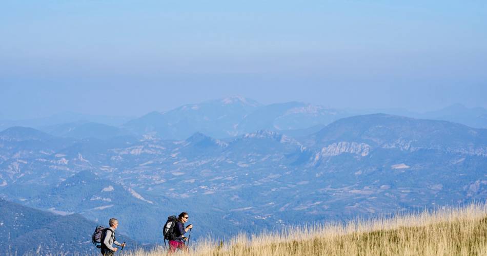
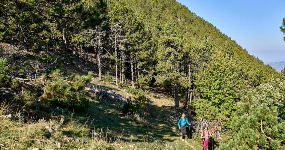
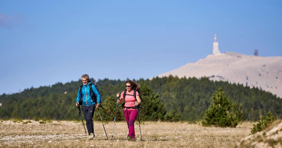
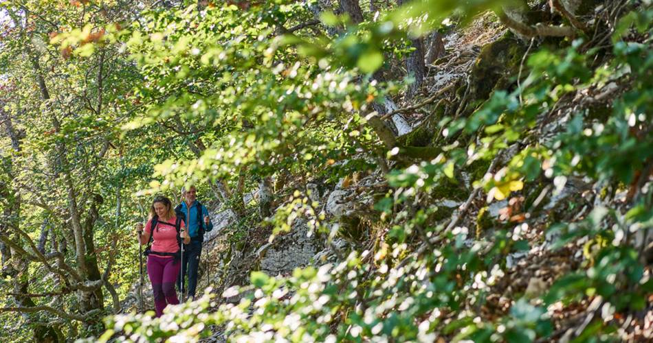
Cette randonnée en altitude chemine entre crêtes sommitales, pierriers et hétraies. Un condensé du ''Géant de Provence'' !recommended parking
Bedoin - Chalet Reynard
To note
 If you want to report a problem on your hike (marking, maintenance, danger...), let us know on Suricate: sentinels.sportsdenature.fr
Access to the massifs
Respect the regulations preserving protected natural areas – find out about restrictions to accessing the massifs during fire risk periods, from 15 June to 15 September.
Before heading out, check the website
Respect the regulations preserving protected natural areas – find out about restrictions to accessing the massifs during fire risk periods, from 15 June to 15 September.
Before heading out, check the website
Guided hikes
This page was produced with the help of theParc naturel régional du Mont-Ventoux