Tourist service in Bédoin :
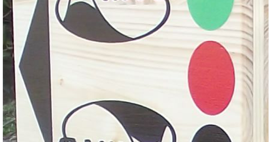
An easy circuit Layout Green 12 km altitude and more than 270 m. Drawing a circuit red + 21 km altitude and 650 m. Drawing a black sports variant: + 39 km altitude and 1040 m with optional red line bis "Chalet Reynard" add 15 km and 450 m elevation gain to red line. Information panels are positioned at rangelands Portal Olives and Chalet Reynard. The routes are marked on their totalities, including the option summit "Chalet Reynard." Starter Parking: downtown Bedoin - Portal Olives (near the Tourist Office). Check out other possible Chalet Reynard (Mont Ventoux) NB: the course will make all counterclockwise.
Green line: c e course for beginners or families you through the foothills north of Mont Ventoux, mainly via small roads and tracks bucolic wide. Admire the way, the geological curiosity that are Demoiselles Coiffées just before the picturesque hamlet of Fine. Then you walk along the foothills of the Giant of Provence to return to your starting point. Red line: d ePart and common return path to green. This course is aimed at practitioners bike confirmed. It requires a good technical level and a good physical condition. Most of the upper (red) takes you on forest tracks and trails through the woods. After leaving the green route (tank), follow the signs for red ascent of Jas Abeiés then you cross (vigilance) the road that climbs to the top face then go south to the Pavilion Rolland. After a few kilometers efforts, Combe Ansis awaits you. This technical descent and fun is a great classic bike room. After you find the green course. Sporty variant - Plot black: 39 km elevation and more 1040 m red line option with bis "Chalet Reynard" add 15 km and 450 m of D + black line And return to the common course green and red. Level course will be particularly noted: excellent physical condition and very good level of control is required, even with the "Chalet Reynard." You leave the red course to follow the dark just before reaching the beautiful Combe Canaud for a long climb. You join the Rat Pavilion where most athletes take the option (marked red) to reach the summit ridge and the Chalet Reynard. Staying on the black course, you then reach the wood Perrache Pins and blacks. Cross the road (attention) and begin the beautiful descent back to join the Red Trail and Combe Ansis. Contact: Résidence Les Florans - T. 04 90 65 60 10- www.lesflorans.com
See less
Dates and times
All year round.
