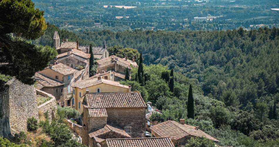
Savoillans
GR® 91: Savoillans to Fontaine-de-Vaucluse
Route
Crossing
Difficulty
Intermediate
Duration
5d
Distance
84km
Positive elevation gain
3079 meters
Negative elevation gain
3484 meters
Altitude
Min. 77 meters
Max. 813 meters
Departure / Arrival
Savoillans / Fontaine-de-Vaucluse
Parking
Place de la Mairie - Malaucène
profil altimétrique
1 / 5
Tourist service in Savoillans :
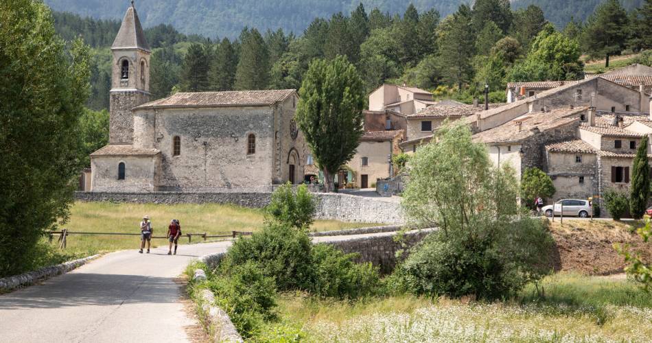
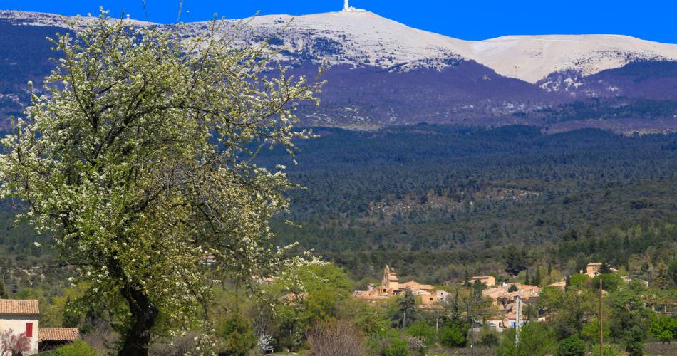
A 5-day or 3-day hiking tour, depending on how athletic you are (approx. 6 miles per day or 12 miles per day). A multi-day hike from Mont Ventoux to the Vaucluse mountains, from the steep-sided Toulourenc valley to the resurgence of Fontaine-de-Vaucluse.Go to the route
public transportation
From Carpentras
TER train station in Carpentras
Zou bus line 11: Carpentras - Vaison la Romaine.
From Avignon
Zou bus line 6: Avignon - Isle-sur-la-Sorgue and Zou bus line 21: Isle-sur-la-Sorgue - Coustellet.
>> More information about the network and times
TransCOVE bus
Line K Carpentras - Malaucène.
Line L Carpentras - Bédoin.
Line M Carpentras - Flassan.
recommended parking
Place de la Mairie - Malaucène
road access
From the A7 Exit Bollène or Orange, towards Nyons – Vaison-la-Romaine.
To note
- Follow the GR® signposting
- Itinerary share mainly with the GRP® Tour of the Ventoux massif: Ventoux via the piedmont slope
- This itinerary can be hiked in any season.
- Prepare for your hike.
- Plan to have good walking shoes, water and clothes that are suitable for the weather.
 If you want to report a problem on your hike (marking, maintenance, danger...), let us know on Suricate: sentinels.sportsdenature.fr
Access to the massifs
Respect the regulations preserving protected natural areas – find out about restrictions to accessing the massifs during fire risk periods, from 15 June to 15 September.
Before heading out, check the website
Respect the regulations preserving protected natural areas – find out about restrictions to accessing the massifs during fire risk periods, from 15 June to 15 September.
Before heading out, check the website
In brief
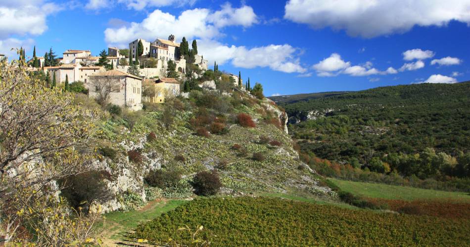
- From the high plateaux of Vercors to the Mont-Ventoux and to the Monts de Vaucluse, this GR® crosses Isère, the Drôme and the Vaucluse
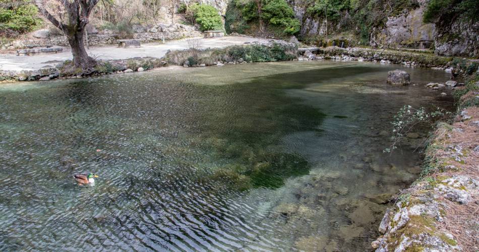
- Fontaine-de-Vaucluse is its final point, and also the source as Vaucluse in French is Vau-Cluso in Provencal, which comes from Vallis-Clausa in Latin, that is the “vallée clause” of Fontaine-de-Vaucluse with its resurgence
- Covered in 3 to 5 days
Contact
Fédération Française de Randonnée de VaucluseTel : View number
Website : https://boutique.ffrandonnee.fr/topoguides
Guided hikes
This page was produced with the help of theVaucluse Provence Attractivité