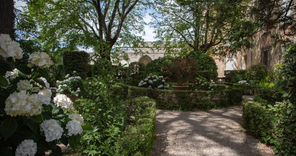
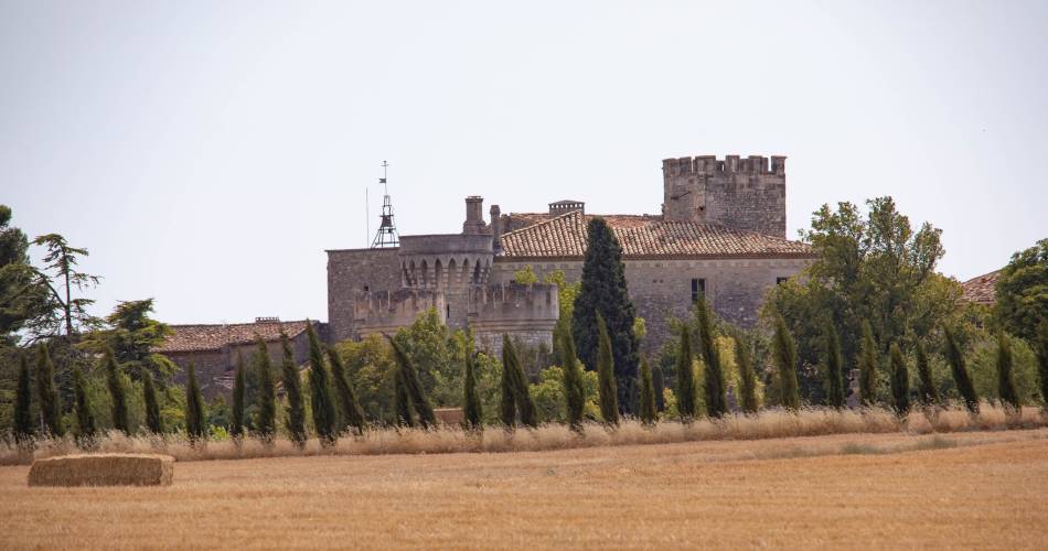
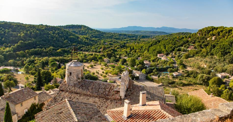
Le Beaucet
GR® de Pays Tour des Monts de Vaucluse
Route
Two way loop
Difficulty
Intermediate
Duration
3.8333333333333d
Distance
67km
Positive elevation gain
2353 meters
Negative elevation gain
2353 meters
Altitude
Min. 77 meters
Max. 629 meters
Departure / Arrival
/
Parking
profil altimétrique
Downloads
GRP® Tour des Monts de Vaucluse
Traces GPX
1 / 5
Tourist service in Le Beaucet :
To note
 If you want to report a problem on your hike (marking, maintenance, danger...), let us know on Suricate: sentinels.sportsdenature.fr
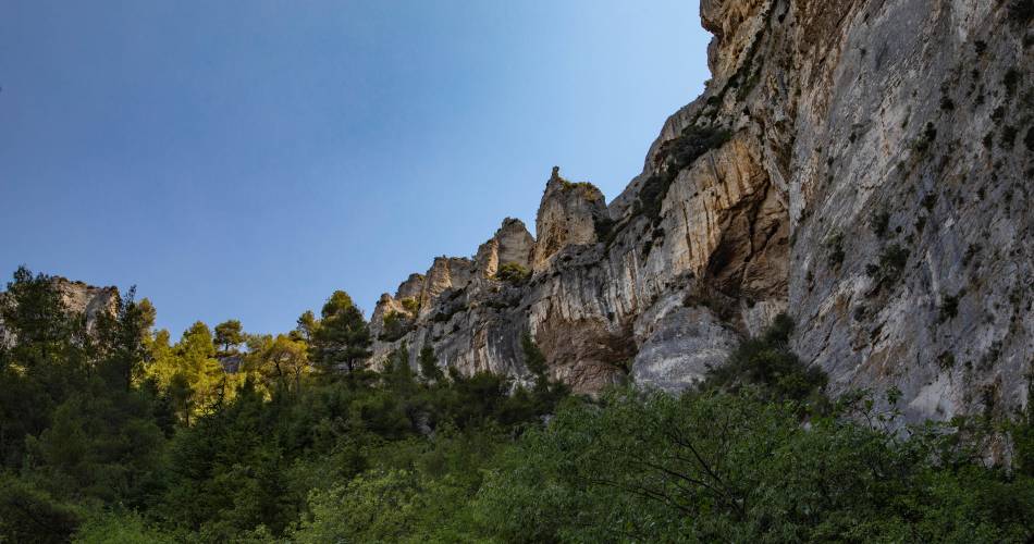
Access to the massifs
Respect the regulations preserving protected natural areas – find out about restrictions to accessing the massifs during fire risk periods, from 15 June to 15 September.
Before heading out, check the website
Respect the regulations preserving protected natural areas – find out about restrictions to accessing the massifs during fire risk periods, from 15 June to 15 September.
Before heading out, check the website
In brief
Downloads
Contact
Fédération Française de Randonnée de VaucluseTel : View number
E-Mail : vaucluse@ffrandonnee.fr
Guided hikes
This page was produced with the help of theVaucluse Provence Attractivité