Flassan
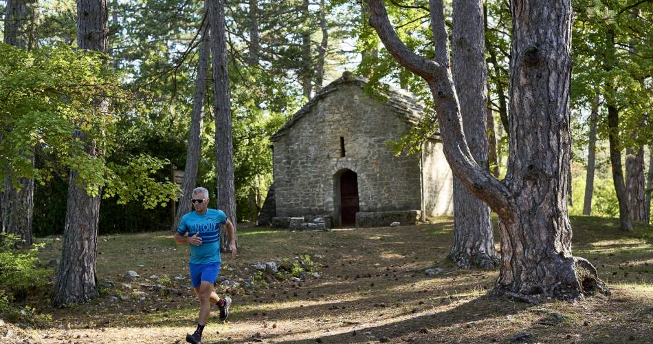
TV03 - The Saint-Jean Chapel
Route
Loop
Difficulty
Intermediate
Duration
2h03
Distance
16km
Positive elevation gain
620 meters
Negative elevation gain
621 meters
Altitude
Min. 423 meters
Max. 1043 meters
Departure / Arrival
/
Parking
profil altimétrique
Downloads
Traces GPX
1 / 3
Tourist service in Flassan :
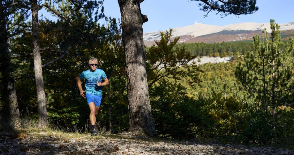
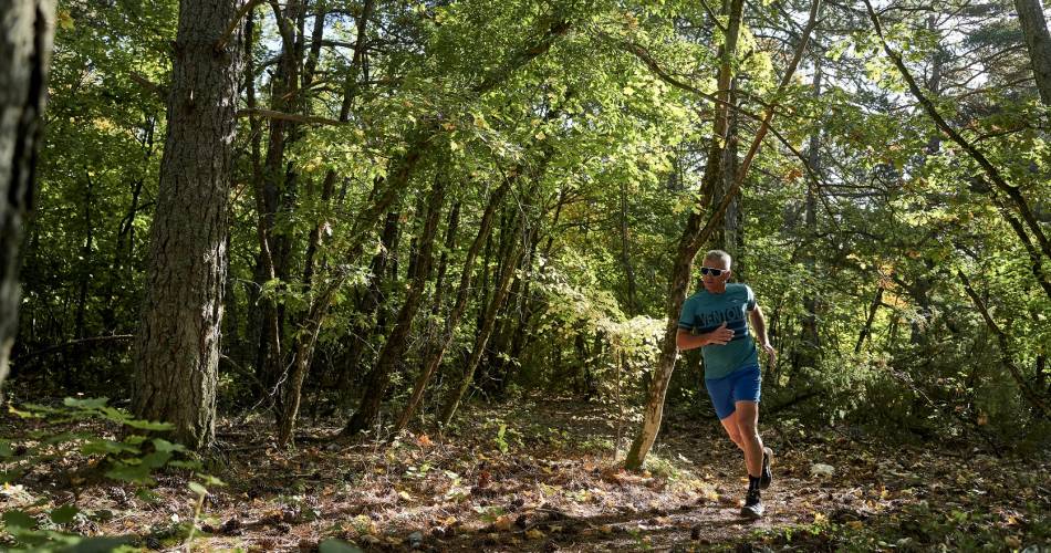
Steady climb on the first half of the route. Discovery of Chapelle Saint-Jean at 1041m. Cool, wooded valley, rolling descent on beautiful singles.To note
 If you want to report a problem on your hike (marking, maintenance, danger...), let us know on Suricate: sentinels.sportsdenature.fr
Access to the massifs
Respect the regulations preserving protected natural areas – find out about restrictions to accessing the massifs during fire risk periods, from 15 June to 15 September.
Before heading out, check the website
Respect the regulations preserving protected natural areas – find out about restrictions to accessing the massifs during fire risk periods, from 15 June to 15 September.
Before heading out, check the website
In brief
Downloads
Contact
Parc Naturel Régional du Mont-VentouxTel : View number
E-Mail : contact@parcduventoux.fr
Website : https://www.jaimecourir.fr/UniversTrail.aspx?univertrail=vaucluse
Guided hikes
This page was produced with the help of theParc naturel régional du Mont-Ventoux