Venasque
TV10 - Visit to Les Combes
Route
Loop
Difficulty
Very difficult
Duration
6h
Distance
40km
Positive elevation gain
1826 meters
Negative elevation gain
1828 meters
Altitude
Min. 178 meters
Max. 662 meters
Departure / Arrival
Parking - city Stade de Venasque / Parking - city Stade de Venasque
Parking
profil altimétrique
Traces GPX
1 / 3
Tourist service in Venasque :
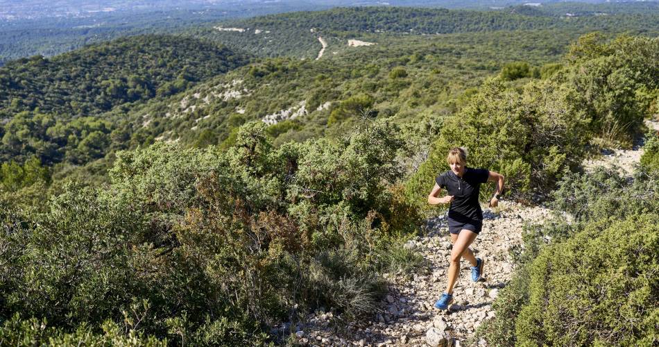
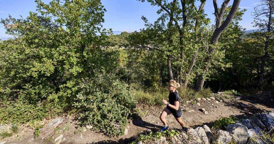
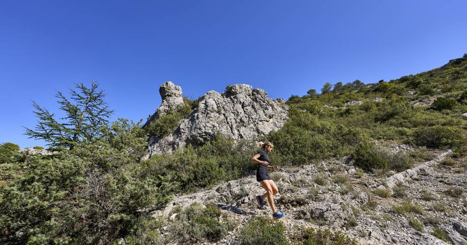
A demanding route, both in terms of distance (39km200) and elevation gain (1700m). Profile has alternating descents and climbs. Very pleasant viewpoint and vegetation.Go to the route
public transportation
TransCove bus, line N
road access
Departmental road D4 from Carpentras
To note
Make sure you bring water with you
Take care at kilometre 29, as the trail passes close to a hunting zone - keep to the path (GR)
Take care at kilometre 29, as the trail passes close to a hunting zone - keep to the path (GR)
 If you want to report a problem on your hike (marking, maintenance, danger...), let us know on Suricate: sentinels.sportsdenature.fr
Access to the massifs
Respect the regulations preserving protected natural areas – find out about restrictions to accessing the massifs during fire risk periods, from 15 June to 15 September.
Before heading out, check the website
Respect the regulations preserving protected natural areas – find out about restrictions to accessing the massifs during fire risk periods, from 15 June to 15 September.
Before heading out, check the website
In brief
A demanding route, only for specialists (39km and 1700m elevation gain)Visit the most beautiful valleys of the area (Mayaud, Fontaine du Rupt, Capellan, Nisarde...)Contact
Ventoux Provence TourismeTel : View number
E-Mail : cdpal@vaucluse.fr
Website : https://www.jaimecourir.fr/UniversTrail.aspx?univertrail=vaucluse
Guided hikes
This page was produced with the help of theOffice de tourisme Ventoux Provence Tourisme