Bédoin
TV13 - Collet Rouge
Route
Loop
Difficulty
Intermediate
Duration
h
Distance
22km
Positive elevation gain
1111 meters
Negative elevation gain
1110 meters
Altitude
Min. 309 meters
Max. 1195 meters
Departure / Arrival
/
Parking
profil altimétrique
Downloads
Traces GPX
1 / 1
Tourist service in Bédoin :
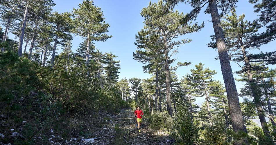
View from the ridge on the Compta Venaissin and the Alps. Be careful, the ridge part is often cold and windy Mostly shaded courseTo note
 If you want to report a problem on your hike (marking, maintenance, danger...), let us know on Suricate: sentinels.sportsdenature.fr
Access to the massifs
Respect the regulations preserving protected natural areas – find out about restrictions to accessing the massifs during fire risk periods, from 15 June to 15 September.
Before heading out, check the website
Respect the regulations preserving protected natural areas – find out about restrictions to accessing the massifs during fire risk periods, from 15 June to 15 September.
Before heading out, check the website
In brief
Downloads
Contact
Ventoux Provence TourismeTel : View number
E-Mail : accueil@bedoin.fr
Website : https://www.ventouxprovence.fr
Guided hikes
This page was produced with the help of theOffice de tourisme Ventoux Provence Tourisme