Sault
TV17 - The round to Verdolier
Route
Loop
Difficulty
Very easy
Duration
h
Distance
10km
Positive elevation gain
285 meters
Negative elevation gain
285 meters
Altitude
Min. 684 meters
Max. 873 meters
Departure / Arrival
/
Parking
profil altimétrique
Downloads
Traces GPX
1 / 1
Tourist service in Sault :
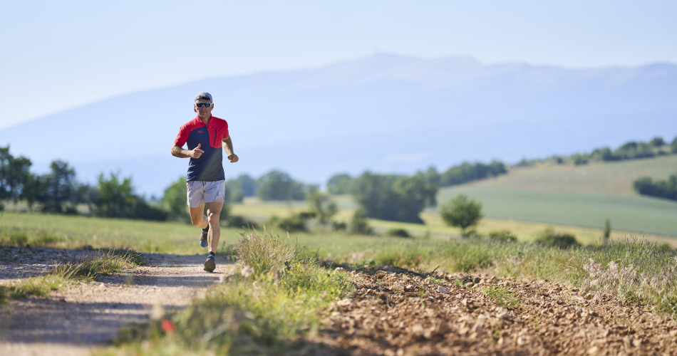
Easy route alternating between plain and white paths. Views over the Pays de SAULT and its perched village, and numerous landscapes of lavender, spelt and cornflowers.To note
 If you want to report a problem on your hike (marking, maintenance, danger...), let us know on Suricate: sentinels.sportsdenature.fr
Access to the massifs
Respect the regulations preserving protected natural areas – find out about restrictions to accessing the massifs during fire risk periods, from 15 June to 15 September.
Before heading out, check the website
Respect the regulations preserving protected natural areas – find out about restrictions to accessing the massifs during fire risk periods, from 15 June to 15 September.
Before heading out, check the website
In brief
Downloads
Contact
Parc Naturel Régional du Mont-VentouxTel : View number
E-Mail : sault@ventoux-sud.com
Website : https://www.jaimecourir.fr/UniversTrail.aspx?univertrail=vaucluse
Guided hikes
This page was produced with the help of theParc naturel régional du Mont-Ventoux