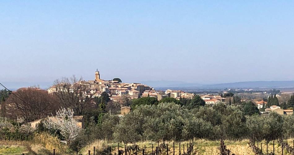
Sablet
V11 - Le Monastère de Prébayon - Sablet
Route
Difficulty
Difficult
Duration
4h01.2
Distance
15km
Positive elevation gain
500 meters
Negative elevation gain
508 meters
Altitude
Min. 160 meters
Max. 502 meters
Departure / Arrival
Sablet / Sablet
Parking
Balisage
Departmental posts at each trail junction, sections of the route on the GR4 and the GR de pays des Dentelles de Montmirail.
profil altimétrique
Traces GPX
1 / 11
Tourist service in Sablet :
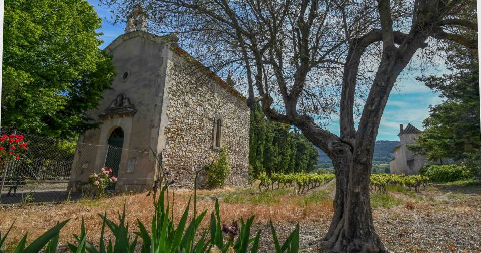
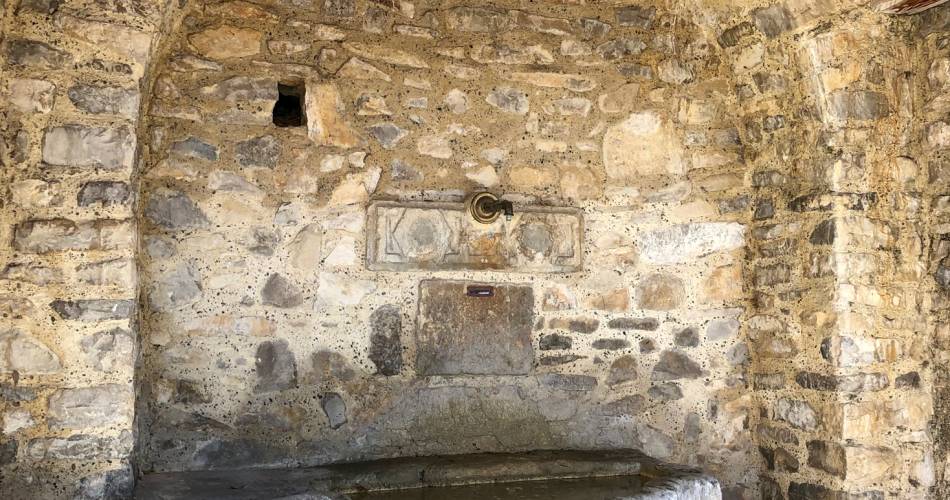
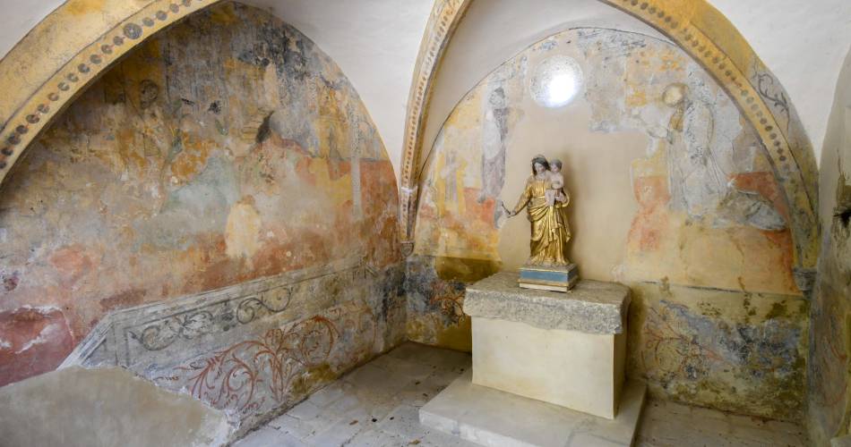
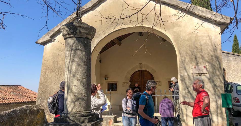
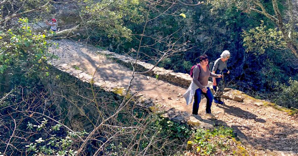
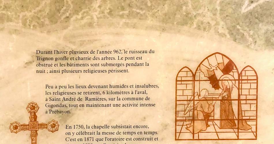
Discover a moving site, one of the oldest vestiges of the Christianization of the region, where nuns who had come to retire to the "desert" were driven out by the raging waters.Go to the route
public transportation
Nearest SNCF station: Carpentras
TransCove bus
- From Vaison-la-Romaine or Carpentras: line J towards Séguret / stop Mairie
Bus Zou !
- From Carpentras: line 904 / Route d'Orange stop
TransCove bus
- From Vaison-la-Romaine or Carpentras: line J towards Séguret / stop Mairie
Bus Zou !
- From Carpentras: line 904 / Route d'Orange stop
road access
From Vaison la Romaine via the D977 (20 minutes)
From Orange via Camaret-sur-Aigues then the D23 (25 minutes)
From Avignon via Vedène, Monteux, Sarrians, Vaqueyras and Gigondas (45 minutes)
From Orange via Camaret-sur-Aigues then the D23 (25 minutes)
From Avignon via Vedène, Monteux, Sarrians, Vaqueyras and Gigondas (45 minutes)
To note
 If you want to report a problem on your hike (marking, maintenance, danger...), let us know on Suricate: sentinels.sportsdenature.fr
Access to the massifs
Respect the regulations preserving protected natural areas – find out about restrictions to accessing the massifs during fire risk periods, from 15 June to 15 September.
Before heading out, check the website
Respect the regulations preserving protected natural areas – find out about restrictions to accessing the massifs during fire risk periods, from 15 June to 15 September.
Before heading out, check the website
In brief
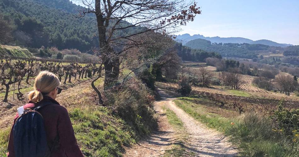
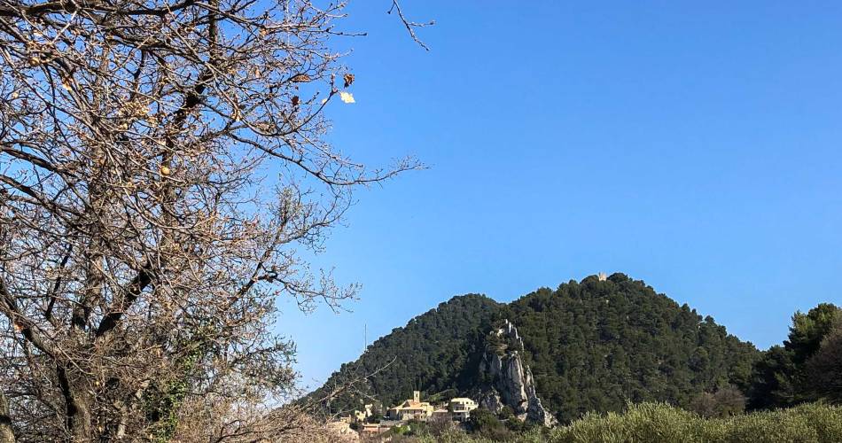
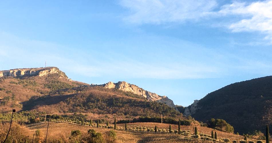
- Hilltop villages,
- Deep ravine leading to the ancient abbey of PREBAYON,
- Vineyards facing Mont Ventoux.
Contact
Fédération Française de Randonnée de VaucluseTel : View number
Guided hikes
This page was produced with the help of theOffice de tourisme du Pays de Vaison Ventoux en Provence